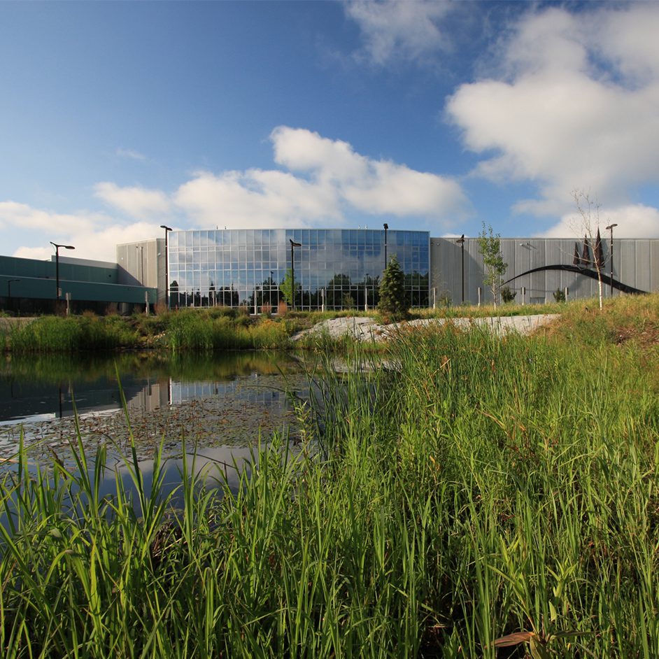


Surveying touches nearly every engineering and architecture project. Surveyors provide the existing conditions information that every design professional relies on. After the project is designed, surveyors also provide those constructing the project necessary information needed to build it properly.
Surveying is rarely a straightforward and simple process. Industrial sites often limit access; equipment locations are tightly controlled and work frequently must occur within narrow shutdown windows. Each decision carrying operational consequences.
Historically, even collecting a single critical measurement could require hours of setup, coordination with operations and safety teams, and sometimes multiple site visits. But advances in technology have reshaped LHB’s approach. Today, our survey practice integrates traditional surveying, construction layout, and cutting-edge digital data capture to deliver clearer information with fewer disruptions.
Below is how we deliver each core survey service and how our integrated approach benefits our clients.
1. Topographic & Boundary Survey Services
Topographic Surveys
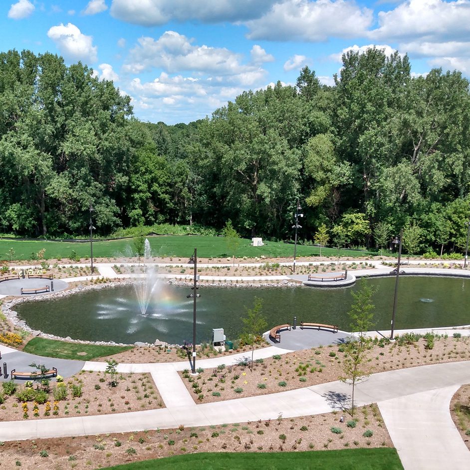
Topographic surveys provide detailed information about existing site features, elevations, utilities, grades, and structures. These surveys support design decisions by accurately representing real-world conditions.
Our approach includes:
- Capturing site contours and grade information
- Documenting utilities, structures, and physical features
- Integrating aerial or ground-based data for complete coverage
- Establishing control networks that tie all collected data to known coordinates
Advances in GPS/VRS networks, robotic total stations, and digital leveling allow us to complete topo surveys more efficiently and with greater precision than ever before.
Boundary Surveys & Land Title Surveys
Legal boundaries remain a cornerstone of all property-related decision-making. Some of the primary boundary-related survey services we provide include:
- Boundary surveys to establish or re-establish property lines
- ALTA/NSPS land title surveys for real estate, due diligence, permitting, and financing
- Right-of-way and route surveys for infrastructure and utility expansions
- Cadastral surveys, which include establishing or reestablishing the section corners, which is the underlying fabric for all boundary and land title surveys within the Public Land Survey System.
- Property legal descriptions & recording exhibits to define the recorded property ownership for land transactions
These services ensure that modern measurements align with historical plats, deeds, and regulatory requirements—forming the legal framework against which all new development must be tied.
2. Construction Staking & Layout Services
Even with advanced scanning and modeling tools, construction staking is still essential to turning design documents into real-world structures.
Our construction staking services include but not limited to:
- Layout of buildings, foundations, and structural elements
- Staking utilities, pavements, and site grading
- Verifying formwork, placement, and alignment during construction
- Establishing benchmarks and control for contractor use
Modern instruments speed up field work and improve accuracy, enabling us to support multiple phases, from initial earthwork to final as-built verification. When paired with 3D scanning and aerial datasets, construction teams gain an even clearer picture of progress and compliance.
3. Scanning & Digital Data Capture Services
Rapid advances in technology have redefined what is possible in the field. LHB’s digital capture services reduce time on site, minimize operational impacts, and deliver rich datasets that support accurate engineering and informed decision-making.
High-Definition Laser Scanning
Laser scanning captures millions of points per second, generating dense, colorized 3D point clouds that document entire environments, including structures, equipment, piping, floors, and more.
Common applications include:
- Verifying floor flatness, slopes, and elevation tolerances
- Designing new or replacement equipment within tight constraints
- Checking construction progress, including concrete and formwork
- Evaluating movement, settlement, or structural degradation
- Developing complete as-built documentation where records are incomplete
Because scanning captures everything visible to the sensor, additional measurements can be extracted later, without returning to the site. This is especially valuable in areas that are hazardous, confined, or difficult to access.
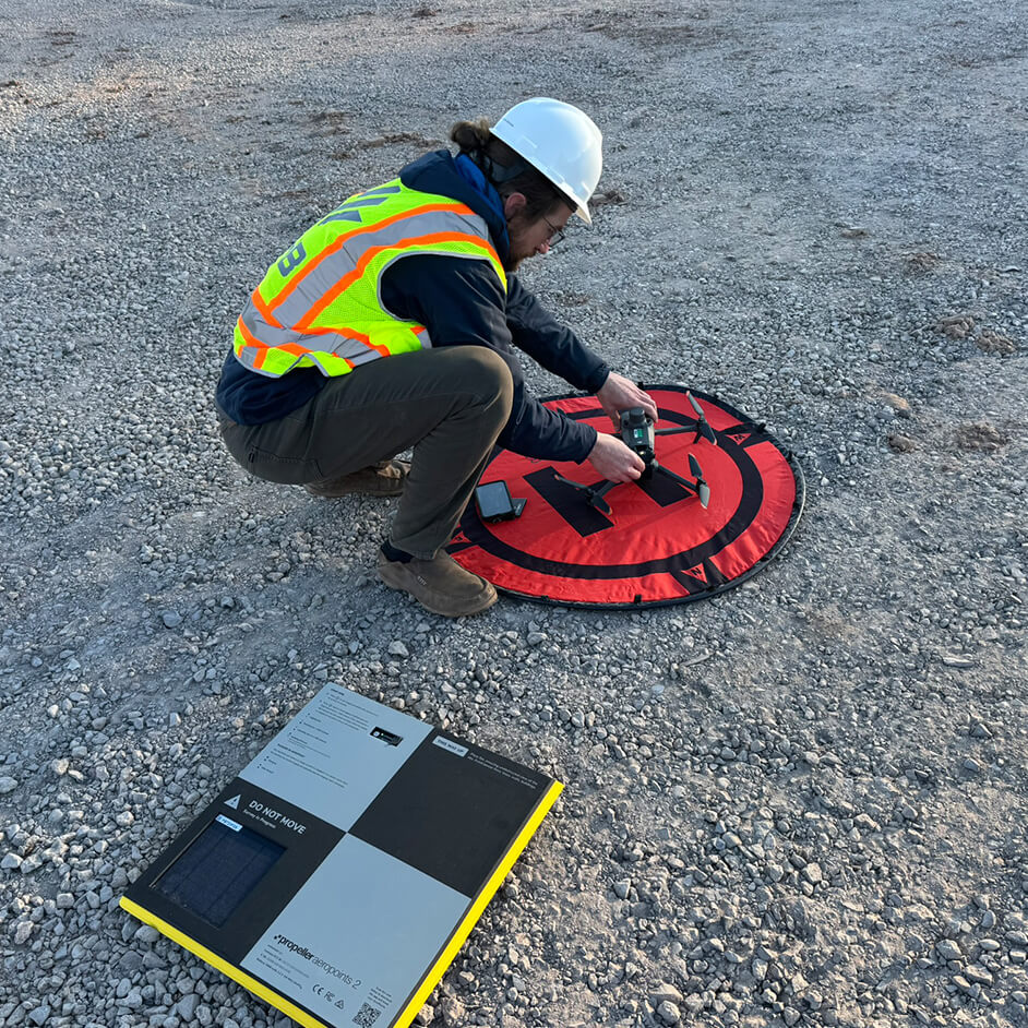
Aerial Data Collection Using Drones
Drones extend our reach to large, complex, or inaccessible areas—reducing the need for personnel to enter hazardous zones.
Typical drone-enabled applications include:
- Mapping large or active industrial and commercial facilities
- Tracking construction progress over time
- Capturing aerial imagery and topographic data
- Inspecting elevated or remote site features
Drone-collected data is tied directly to our ground control and laser scans, producing a cohesive dataset that supports the entire project lifecycle.
4. Why an Integrated Approach Matters
When boundary and topographic surveys, construction staking, laser scanning, and drone data are planned together, the result isn’t just more information—it’s smarter information.
Clients benefit through:
- Shorter schedules and fewer site disruptions
- Reduced downtime, especially in operational facilities
- Fewer return trips thanks to comprehensive data capture
- Better-coordinated designs with fewer assumptions
- Data reuse throughout planning, design, construction, and operations
Work that previously required phased mobilizations over weeks can now often be accomplished in days. Follow-up questions that once meant another site visit can now be answered by exploring the existing dataset.
Moving Forward with Confidence
Technology will continue to evolve, but our goal remains constant: to provide clear, reliable information that supports confident decision-making at every stage of a project. Through the combined strength of traditional surveying, construction layout, and advanced scanning and aerial capture, LHB delivers survey solutions that meet today’s demands—and anticipate tomorrow’s. ∎
Learn more about LHB’s survey services here.