Hopkins Heat Vulnerability Study
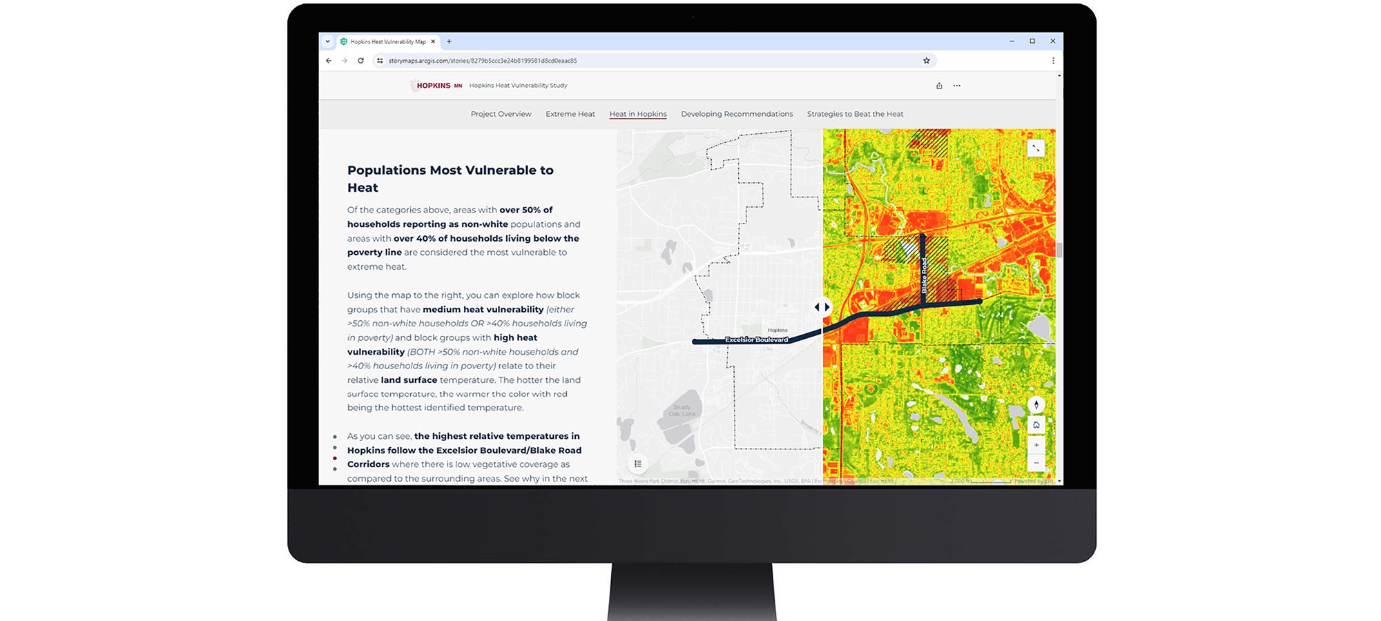
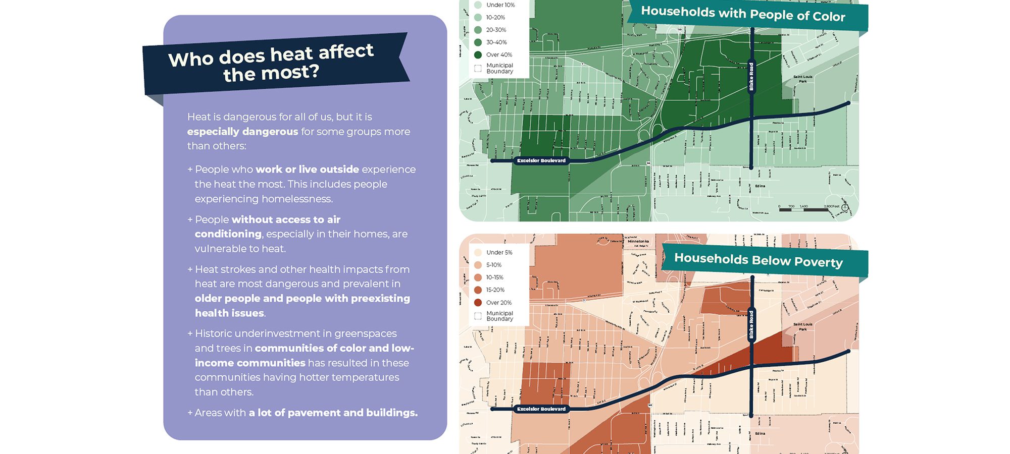
Through a lens of place-based equity, this project exemplifies a community-driven planning approach that results in positive outcomes for the people we serve, exemplifying how LHB’s projects can directly aid vulnerable communities in the face of a changing climate. The Hopkins Heat Vulnerability Study explores how the City of Hopkins is affected by a warming planet and how it can adapt to extreme heat events. The ArcGIS StoryMap provides an interactive summary of how heat impacts the city’s most vulnerable residents and includes action steps on how to keep those residents, and all community members, safe in extreme heat.
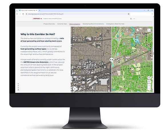
Communicated through interactive mapping
The project deliverable, an ArcGIS StoryMap, was chosen to provide an equitable and accessible tool for communicating the project process and outcomes. It allows the public to directly interact with the geographic data and recommendations and provides transparency with links to backup materials. This tool is a living document, allowing underlying data to be updated as needed to stay relevant.
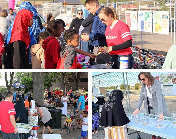
Rooted in community engagement
To understand how to plan for community safety in the heat, LHB and Local Climate Solutions sought to understand how people in Hopkins currently handle the heat, what strategies can be used to stay safe during heat waves, and how the city can assist community members in extreme heat events moving forward. Team members spoke with more than one hundred residents and property owners at various local events, focus group meetings.
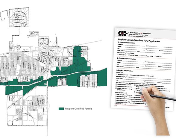
Immediately impactful for sustainability work
Using American Rescue Plan Act dollars, the City Council directed staff to implement a Green Cost Share Program, which helps businesses and residents with the costs of sustainable infrastructure. Based on this Heat Vulnerability Study, multi-family and commercial businesses within the corridors are offered an additional incentive if their projects implement a strategy that helps reduce heat.
